
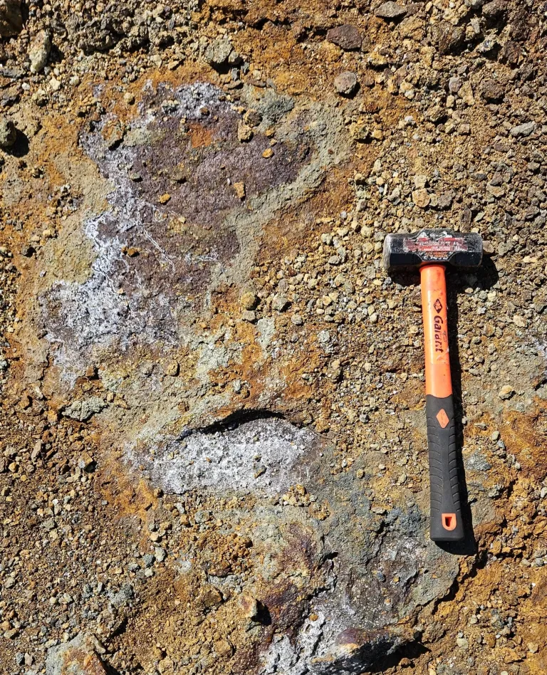
In the short to medium term, the Company’s objectives are to test the lateral and depth extensions of the Langlade showing, while also investigating the electromagnetic (INPUT, HEM) and IP anomalies detected in its immediate vicinity. The goal is to identify new VMS-type lenses similar to the Langlade showing.
On May 5, 2026, Bullion announced the the results of DDH LAN-26-27 and LAN-26-28. The results confirm the presence of significant copper, zinc, and silver mineralization.
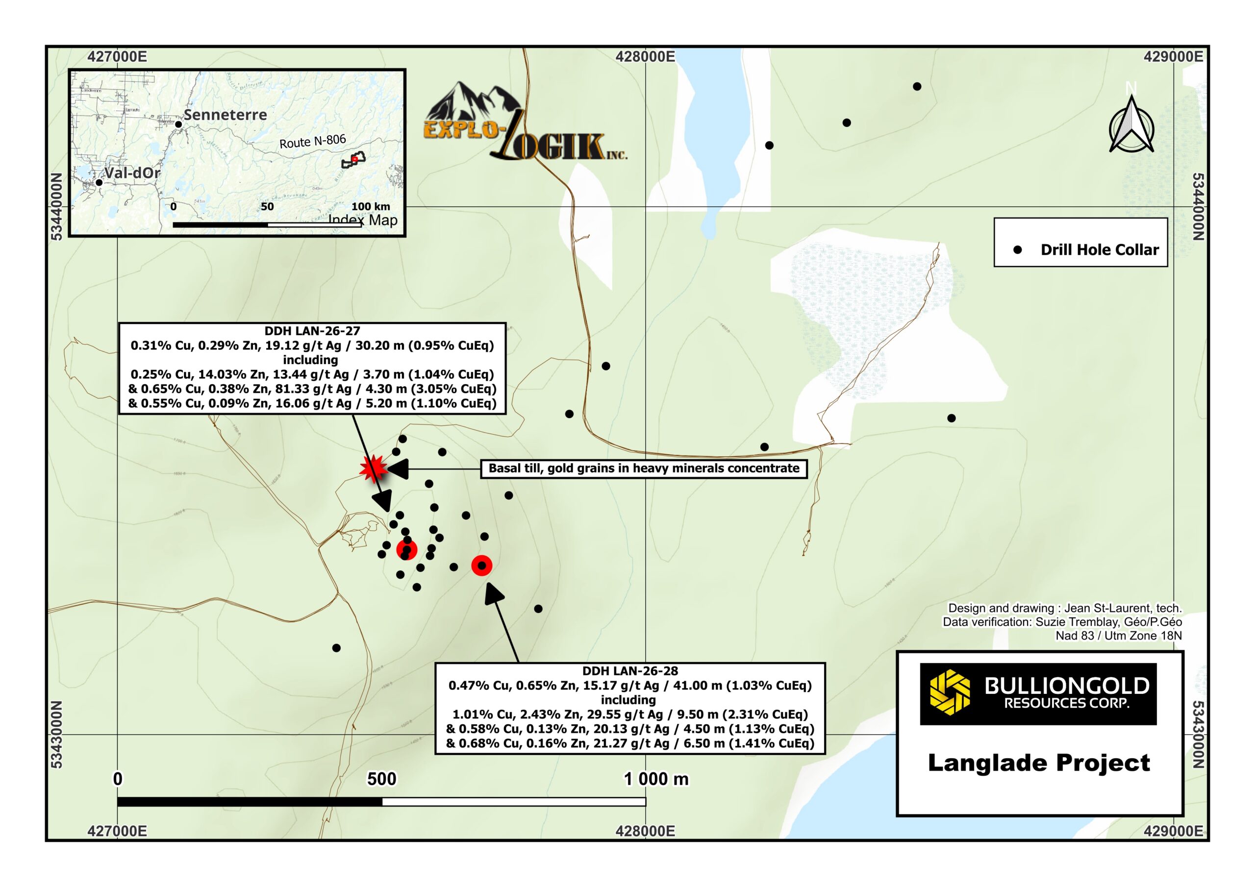
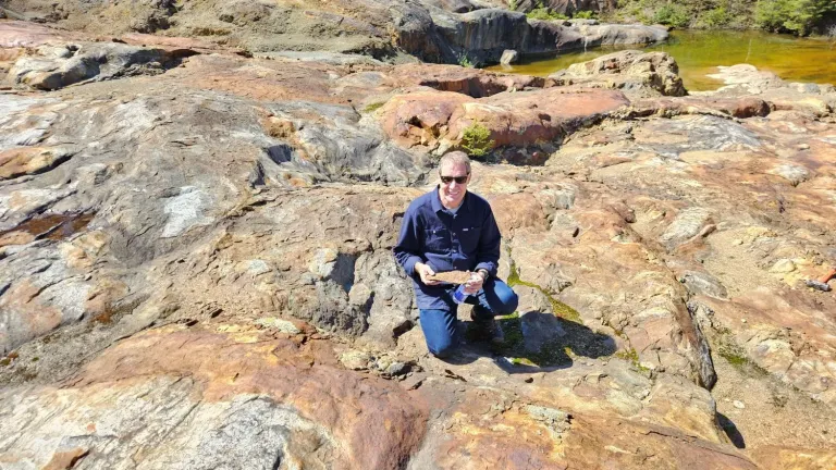
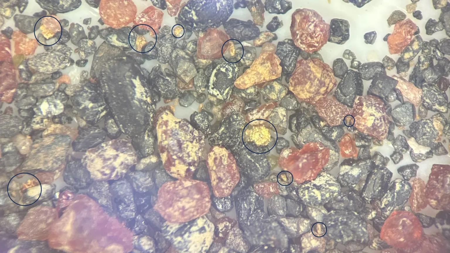
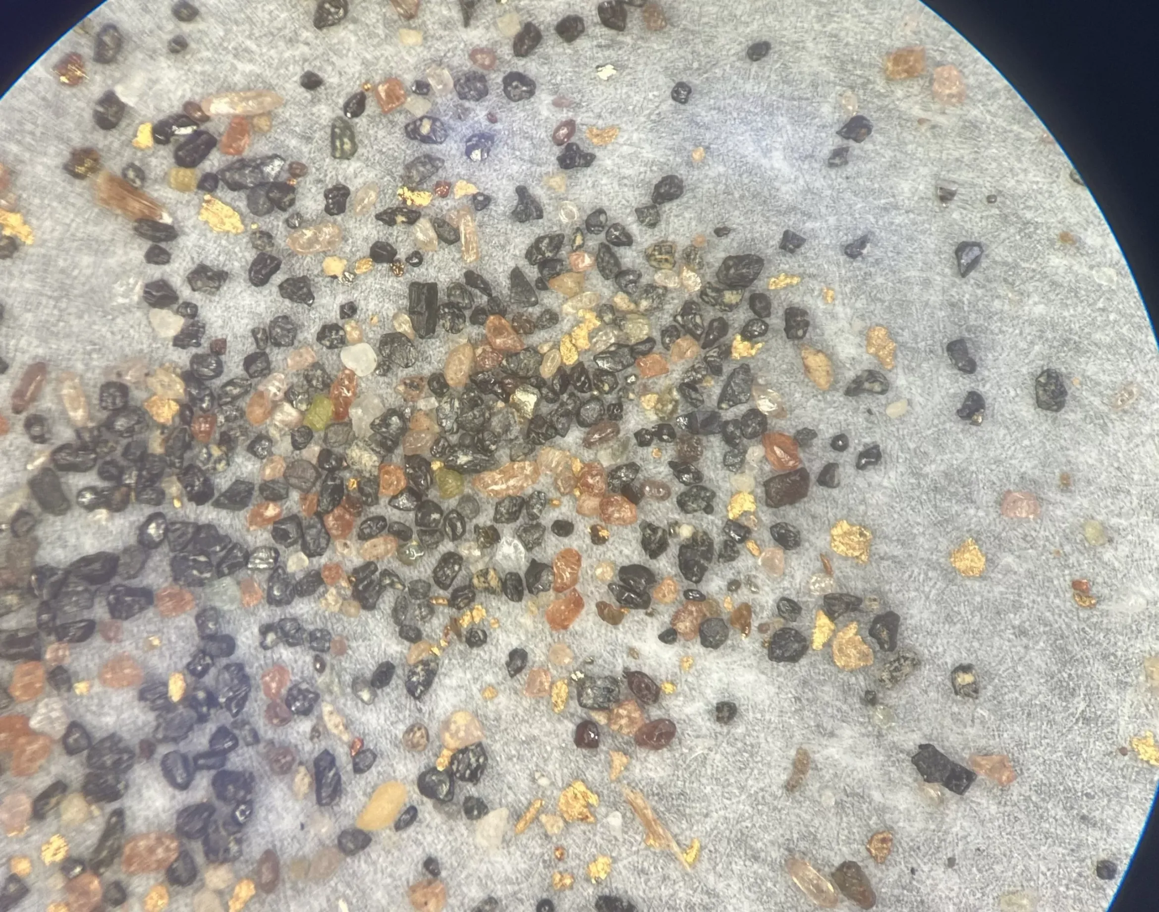
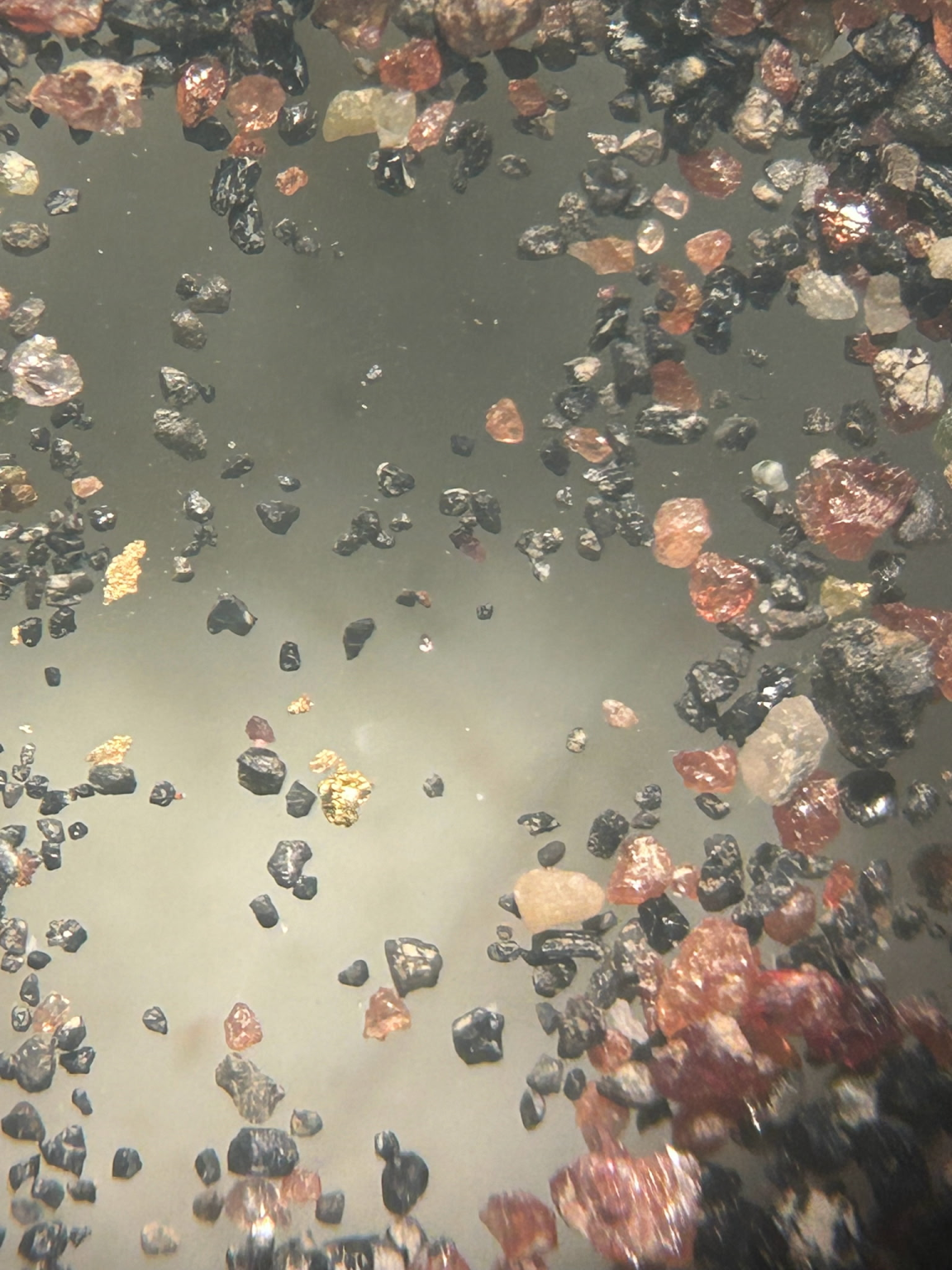
The Company recently collected a five (5) kilogram basal till test sample to evaluate the feasibility of a larger till sampling program north of the Langlade Prospect, following glacial transport modeling.
